Kompetenzstufe: Anfänger*in
Sprache: Englisch
Format: Artikel
Medientyp: Textmedien
Veröffentlichung: 10.09.2024
Version: 1.0.0
ID: https://hdl.handle.net/21.11159/019595b2-ce5f-7090-a284-00fa71249aeb
A Basic Introduction to Geographic Information Systems (GIS)
Emily Genatowski , Liam Downs-Tepper
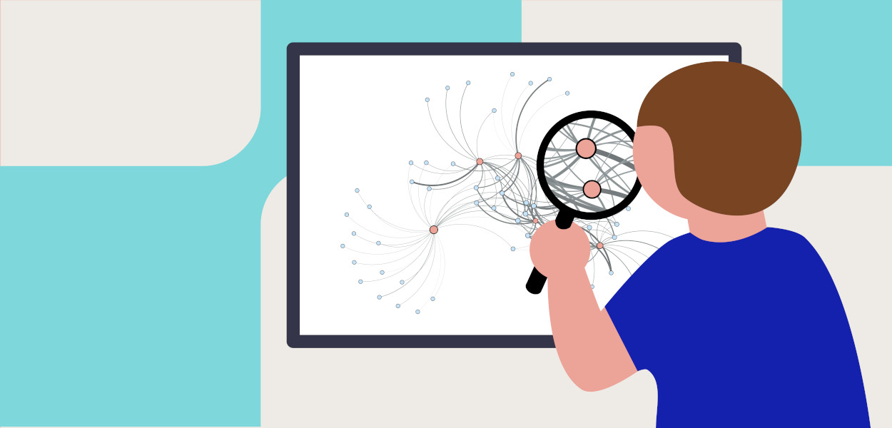
Spatial work in Geographic Information Systems (GIS) can be broadly categorized into two main types: analysis and visualization. Analysis involves computational techniques that help computers process and interpret spatial data, while visualization focuses on making this data comprehensible to people. Most GIS projects incorporate a mix of these two aspects to leverage the strengths of both. This guide aims to provide a comprehensive understanding of these concepts, making it accessible even to those new to GIS. After completing this resource, learners will be able to: Understand a variety of spatial methods: Learners will gain familiarity with different techniques used in GIS, their purposes, and their applications. Apply spatial methods in their research and analysis: Learners will be equipped to use these methods effectively in their projects to gain insights and solve spatial problems.
Diese Ressource steht unter folgender Lizenz: